 Source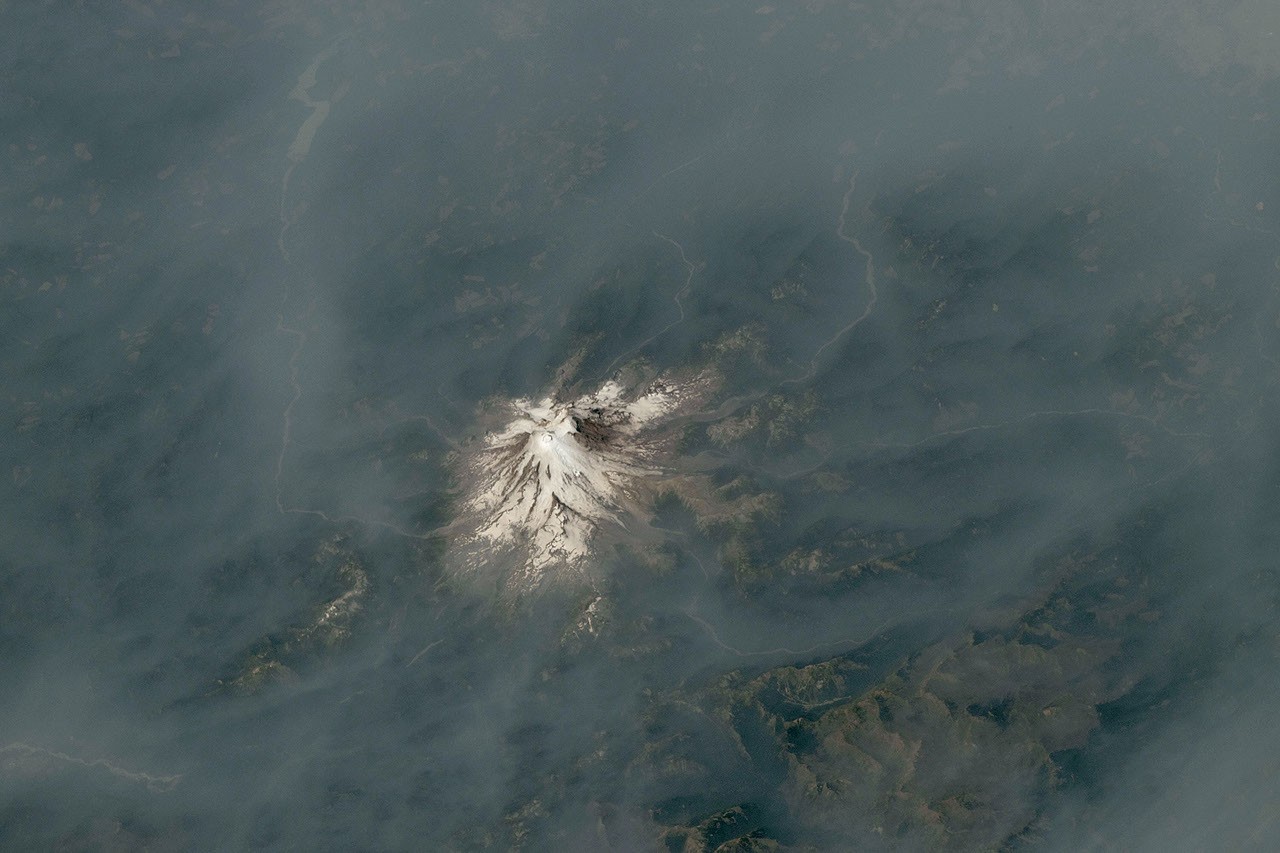
Cascade Volcanoes Shrouded in Smoke
Astronauts photographed Mount Hood and Mount Rainier shrouded in wildfire smoke during summer 2026. The imagery documents the impact of severe wildland fires across the Pacific Northwest.
Why it matters
These wildfires caused unhealthy air quality and mandatory evacuations for residents in Wasco County. Warm, dry conditions influenced by El Niño increase the risk of further large blazes.
The details
- The Grasshopper fire burned nearly 84,000 acres as of August 12, 2026.
- Air quality at Mount Rainier reached unhealthy levels on August 4, 2026.
- The Grand Park 2 fire burned 223 acres within park boundaries.
Show entities and relationshipsHide entities and relationships
In this article
Key connections
National Interagency Fire Center owns InciWeb
National Interagency Fire Center and InciWeb provide wildland fire information and outlooks across the region.
National Park Service is related to National Interagency Fire Center
The National Park Service and National Interagency Fire Center both monitor wildland fire conditions and smoke impact in the Pacific Northwest.
National Interagency Fire Center is located in United States
The National Interagency Fire Center is based in the United States.
International Space Station is related to United States
Astronauts aboard the International Space Station photographed wildfire smoke spreading across the western United States.
National Park Service is located in United States
The National Park Service is a federal agency of the United States.
Related events
Grasshopper Fire Spreads Across Mount Hood National Forest
Mount Rainier Air Quality Reaches Unhealthy Levels
Above-Normal Fire Potential Expected Across Pacific Northwest
Get the weekly recap
The stories like this one, picked and explained — once a week, straight to your inbox.